Chinook County Park, Washington, USA
Located near the mouth of the Columbia at Chinook, Washington, this place has some of the best flat water and clean wind on the U.S. Pacific coast. It is well situated for the southerly storms that come through with regularity in the fall, winter and the spring. At its best in the fall, the wind seems to be very inconsistent in the spring when the Columbia is much colder than the ocean. But good conditions are not probable but possible through all but summer.
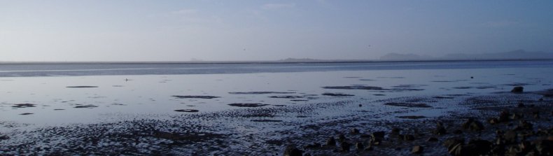
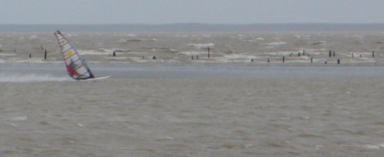
There is a relatively narrow tide window. The first picture below was taken with the tide at about 1.5 feet, which is too low for good sailing. The outer bar starts submerging above 5 feet, so ideal tide is around 4 feet. Below 3 feet and you will very likely hit sand. Here is a tide calculator. Also, since the tide window is so narrow, use the actual vs. predicted correction factor from here.
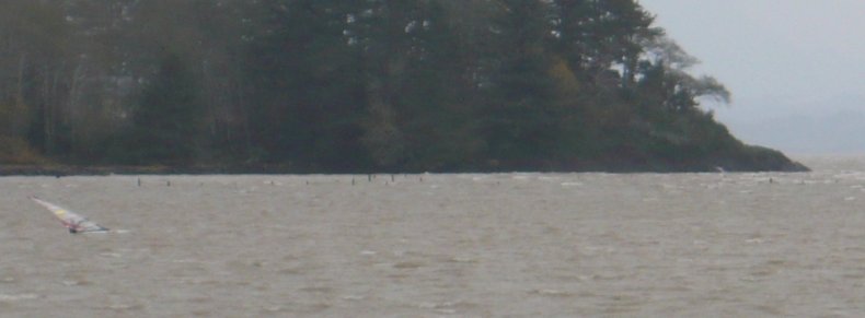
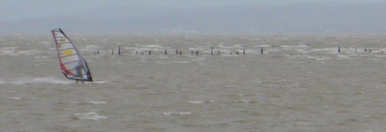
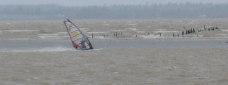
Here is a photo sequence of sailing the course.
1) Going over the Pre-flight checklist in shallow water:
2) Accelerating in small chop:
3) Hitting the top of the course:
4) Yawn....42.8 knots today:
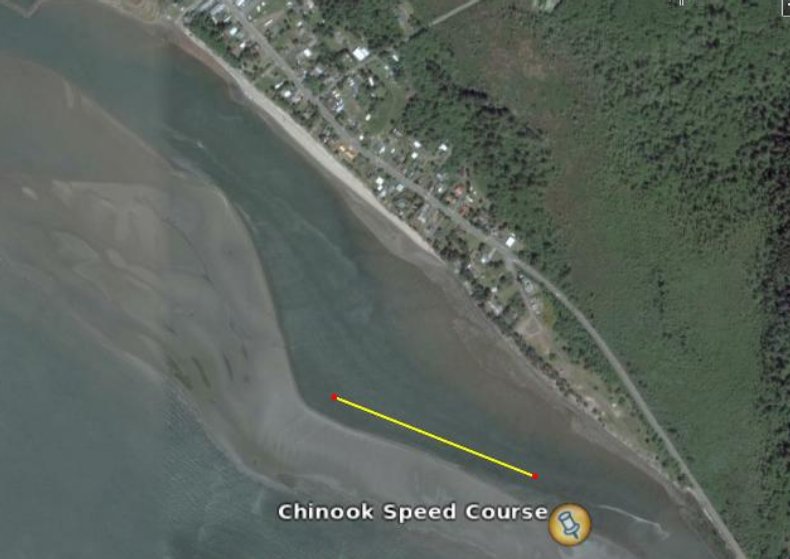
The main 500 meter course is marked on the picture for true southerlies, however a second run is possible when the wind shifts southwest enough:
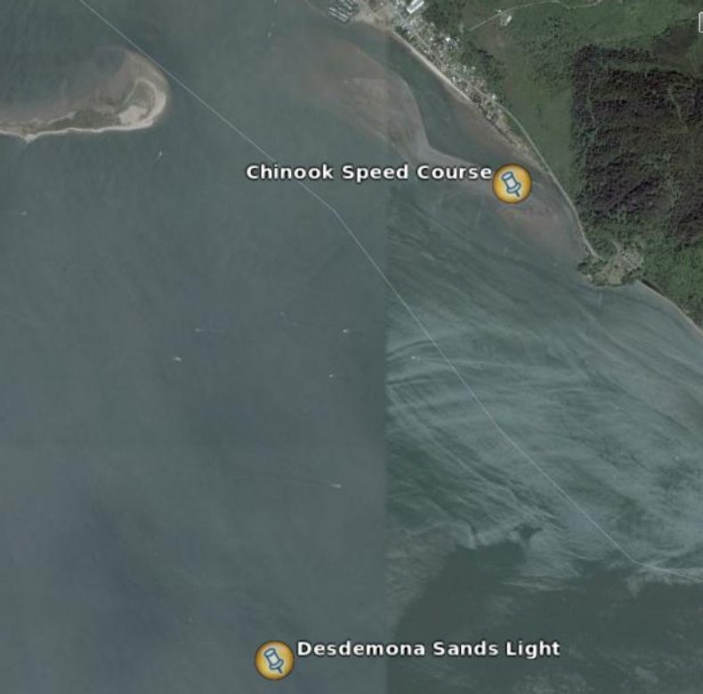
Wind strength can be monitored from the Desdemona Sands Light which is just upwind with the preferred southerly wind direction:
The salinity of the water depends greatly on river flow levels and whether the tide is rising or falling. The salinity will be greater on rising tides compared to falling tides. Values also depend on the tidal gradient. As a gross estimate, the salinity appears to be about 50-70% of normal sea water on rising tides and 30-50% on falling tides with the water level around 4 feet.
Return to Index